28 Meter Tsunami Threatens New Zealand
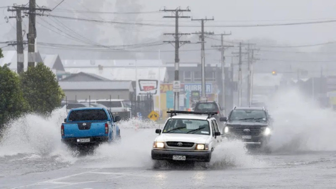
- Michael Cunningham/Northern Advocate via AP.
New Zealand – A recent research finds that tsunami waves as high as 92 feet (28 meters) probably hit parts of New Zealand in a worst-case eartquake scenario.
In the study, researchers used a new method of examining simulated earthquakes to understand possible tsunami risks to New Zealand's North and South Islands.
They found that the largest waves are likely to strike along the northeast coast of North Island. That's because the Hikurangi subduction zone, where the Pacific tectonic plate dives under the Australian tectonic plate, sits just offshore.
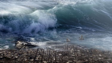
Ilustrasi tsunami.
- pixabay
"There’s a really short timespan [between] when these earthquakes happened and when the tsunami waves hit," said a first author Laura Hughes, a doctoral student at Victoria University of Wellington.
Because of New Zealand's proximity to subduction zones, which can create large, tsunami-generating earthquakes, it's important to understand the risk of these devastating waves.
Previous efforts have used historical quakes to try to understand future risk, said a study senior author Martha Savage, a geophysicist at Victoria University of Wellington.
But historical records only go back about 150 years. Geological studies can turn up evidence of older quakes, but those records are incomplete.
Instead, the researchers turned to a different method: synthetic earthquakes. This method used computer models, into which researchers added everything they know about the geometry and physics of fault systems, including things like the locations of faults and the amount of friction on them.
They then simulated tens of thousands of years of quakes to try to determine how often major ones occur.
The method isn't perfect because the fault systems aren't fully known, Savage said, but it complements the historical and geological record.
"We’re able to put in a variety of properties we think may exist and get that range of potential earthquakes and range of potential tsunamis that may happen,"
In the new study, published November 29, in the journal JGR Solid Earth, the researchers created a catalog of 30,000 years of simulated time focused on the fault systems around New Zealand. The results revealed 2,585 earthquakes with magnitudes between 7.0 and 9.25.
The model suggests that the Hikurangi subduction zone is the most dangerous source of tsunami quakes near New Zealand, though the Tonga-Kermadec subduction zone north of North Island can also generate large, tsunami-causing quakes, just a bit further from shore.
The researchers were surprised to find that the tsunami hazard was caused by smaller, shallower faults called crustal faults, rather than the subduction faults themselves, Hughes said.
"Yes, the subduction zones are doing what we expect them to do. But our crustal faults also have a significant component of the hazard that we also need to account for," she remarked.
The team found the maximum height of a tsunami was 92 feet, which would result from a 9.13 magnitude earthquake about 394 miles (634 kilometers) northeast of Auckland in the South Pacific. The 2011 Tohoku tsunami in Japan was a 130-foot (40 meter) wave, for comparison.
The results suggest that New Zealand can expect a tsunami of 16.4 feet (5 m) approximately every 77 years, with a wave of at least 49.2 feet (15 m) approximately every 580 years.
Tsunamis over 3.3 feet (1 meter) high trigger land evacuations, Hughes said, while smaller waves can damage ports and harbors.
Though this is the first time the synthetic earthquake method has been used to study tsunamis, the same thing could be done for other at-risk places around the globe, Hughes said.
There is also more work needed to map out the risk to New Zealand, she added. The current study didn't take into account far-flung earthquakes around the Pacific, which can cause tsunami waves that resonate around the entire ocean.
"It is this huge step forward in risk assessment that we can now create a chain from what is creating the earthquakes, to what the earthquake looks like, and then what that looks like for the tsunami," Hughes said.


